THE COURSE:
The Route
Tunitas is challenging enough to keep avid cyclists coming back, but it’s also doable for an average exerciser! Begin from the Bike Hut (1045 Tunitas Creek Rd; Half Moon Bay, CA 94019) with two miles of rolling countryside (easy) before starting the gorgeous and gritty ascent into the Redwood forest. It’s two miles of (moderate) climbing before the switchbacks take a steeper grade for a breathless mile and a half more (difficult). Luckily, this is also where Tunitas feels extra magical, alive with giant Redwoods and bright greenery carpeting the forest floor. Once past the Purisima trailhead, things level with a moderate incline for the final three miles (easy) to Skyline.
Start Line
The Bike Hut Address: 1045 Tunitas Creek Rd; Half Moon Bay, CA - You'll see the start line chalked on the road, just after the Bike Hut porta potty @300 ft east of The Bike Hut. This way, if you're stopping at The Bike Hut for a break before you begin the ride, your gps won't trigger the segment until you're ready to ride.
Finish Line
The top of Tunitas Creek Road, i.e. just before the intersection of Tunitas Creek Road and Skyline Boulevard on Kings Mountain. You'll see the finish line chalked on the road by the last big Redwood tree (pictured below) on the left before the pullout - for your safety, please don't go all the way to the intersection with Skyline.
The Stats
Distance: 8.3 mi Climbing: 1900 ft Avg. Grade: 4%
Non-Strava Users
Download the map and cue sheet to populate your device below.
Thank you Randall!
*A huge thank you to Randall Braun of RouteArrows.com for generously marking the road for this ride!

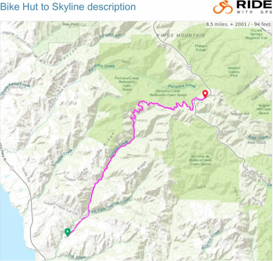
Course Map
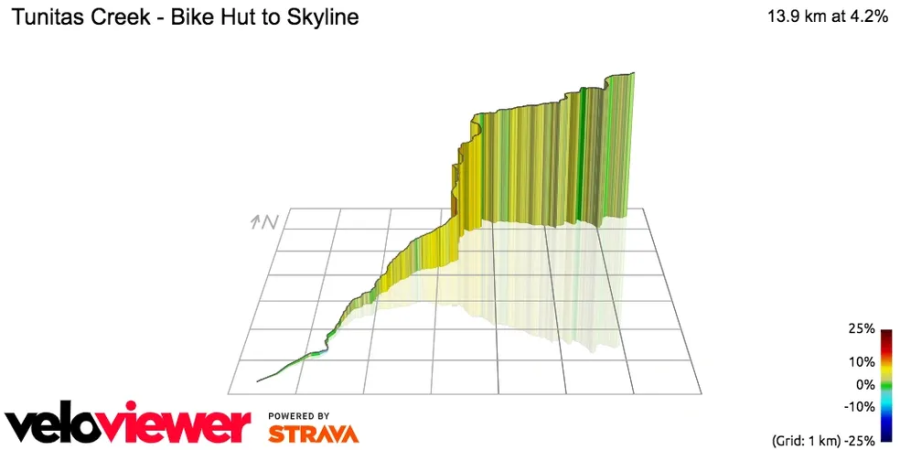
Course Profile
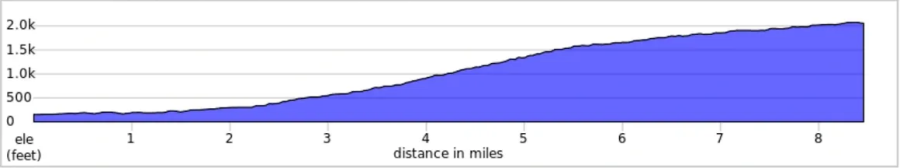
Elevation Profile by Mile
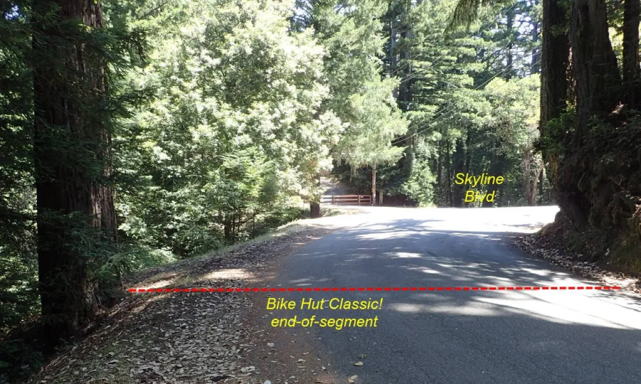
Finish Line